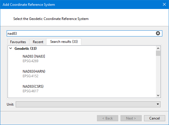
Pick a geodetic coordinate reference system for use with the projected coordinate reference system.
Interface
Select an existing coordinate reference system to use as a template.
Procedure
1. Select a geodetic coordinate reference system .
You can select it using favourites, recent, or by searching.
2. Click Next.