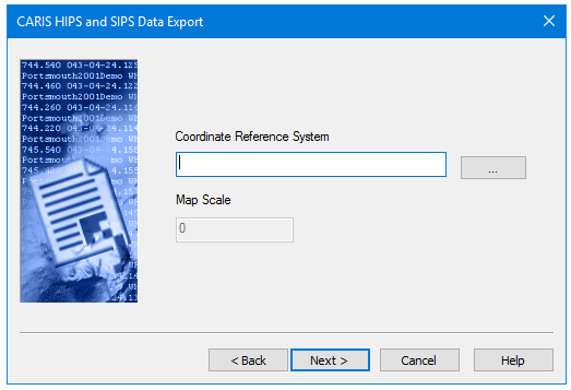
All sounding data is stored in HIPS and SIPS as longitude and latitude. This dialog box sets the appropriate coordinate system to reference soundings. All soundings will be transformed to this coordinate system as they are exported.
Procedure
1. Click Browse to open the Select Coordinate Reference System dialog box.
2. Select an appropriate system and click OK.
3. Set Map Scale.