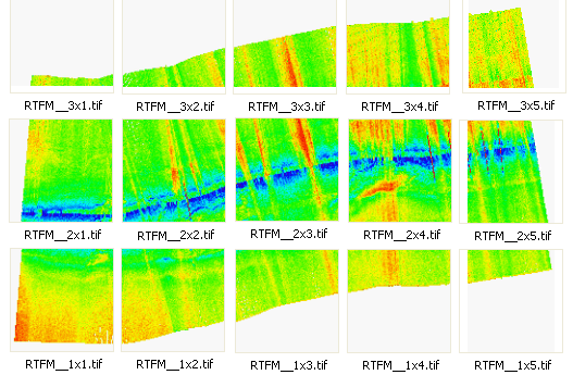
The Tiling function creates a separate raster for each tile in the surface. The tiles are determined based on user-specified width and height dimensions.
When creating a tile set, each file will be numbered according to the location of the tile in the surface. The tile number is in the format "RxC", where R and C are the row and column index of the tile. The tile number will be included in the file name for each tile, along with the Output name assigned for the export format.
For example, If you were exporting a GeoTIFF image to tiles with RTFM set as the Output name, the resulting files would be numbered as follows: