The Bathy DataBASE suite is one of the elements of Teledyne CARIS’s database-driven approach to data management.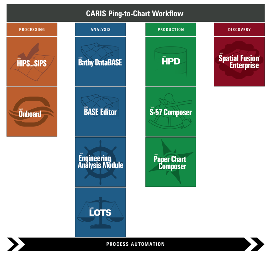
BASE Editor™ is the core application in the Bathy DataBASE1 (BDB™) suite of products. It provides a rich toolset for bathymetric and topographic data preparation, analysis, and compilation.
The BASE Editor application leverages the latest Teledyne CARIS2 technology to allow it to work effectively with modern high density and high volume survey data. Typically, the latest surveys are brought into BASE Editor and analyzed in conjunction with historical data along with georeferenced imagery and vector maps such as ENCs. Through an analysis process, the survey data is vetted, prepared and then used to extract new information to be incorporated in a new product.
Examples of tasks that can be accomplished in BASE Editor are:
• open or import high volume multi-beam data as a gridded surface,
• open or import laserscan or lidar data as a point cloud,
• create, cut, append, and densify TIN structures,
• combine two or more gridded surfaces or point clouds together using a hierarchy of rules to create a mosaic,
• perform differencing that compares attributes in one surface to the same attributes in another surface,
• apply vertical datum offsets or horizontal coordinate system transformations, and
• create soundings, contours, depth areas and other features from scratch or from points in the source data.
The Bathy DataBASE suite is one of the elements of Teledyne CARIS’s database-driven approach to data management.
Some additional modules that are often used in conjunction with the BASE Editor module are:
• BASE Manager™
• Compose
• Engineering Analysis (EAM™)
• Limits and Boundaries (LBM)
• SPINE
1 This term is a trademark of Teledyne CARIS, Reg. USPTO.
2 This term is a trademark of Teledyne CARIS, Reg. USPTO and CIPO..